Cynefin
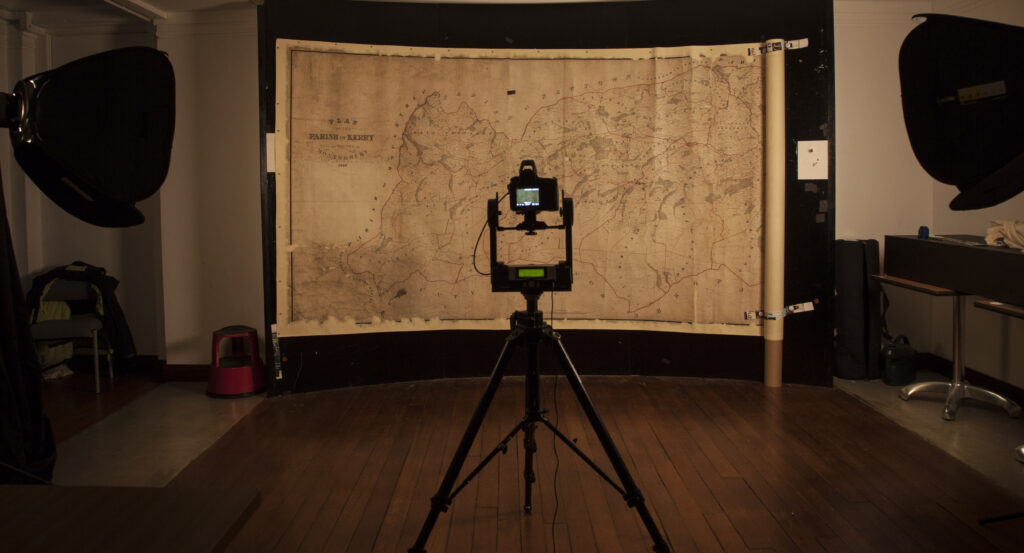
The ARCW project ‘Cynefin: Mapping Wales’ Sense of Place’ ran from 2014 to 2017. The project repaired and digitised more than 1,100 Welsh tithe maps held at the National Library of Wales, and volunteers working online helped to transcribe around 27,000 entries in the accompanying tithe apportionment documents, linking them to the relevant field numbers on the maps.
Funding came from Heritage Lottery Fund Wales with additional financial support from the Welsh Government and contributions in kind from the National Library of Wales and Archives and Records Council Wales. You can now search and browse over 300,000 entries from the tithe maps and accompanying apportionment documents on the Tithe Maps of Wales website.
As part of the overall Cynefin project, six smaller projects overseen by local archive offices took place across Wales, each project taking an aspect of the tithe maps which appealed to and engaged their local community. The projects were designed to involve participants from a variety of backgrounds and with a wide range of ages from eight to eighty.